

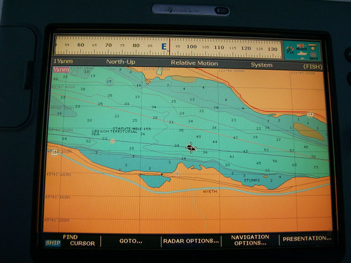
I have a Raymarine E120 GPS display. On the display there is an icon of a boat which is supposed to indicate the direction the boat is headed.
My boat icon is about 15-20 degrees to starboard of my true direction.
My GPS antenna and radar, etc are all mounted on a deck mounted post with a spreader. The boat has been hauled and had the bottom redone, and I suspect the spreader was tweaked by the straps when the boat was lifted.since it's not perpendicular to the axis of the boat. My question is can the spreader angle be the cause of the twist of the icon on the screen or is there some electronic way to adjust the icon so it represents the true direction?
—
1988 Catalina 36 Hull #862
"Heart of Gold"
If I remember correctly compass deviation is in the 15-17°w range. Is it possible the chart plotter is showing mag instead of true?
Ken and Vicki Juul
SV Luna Loca
C34 #1090
Chesapeake Bay
Have you considered contacting Raymarine to get their opinion and guidance on this?
Allan Rex
# 2216
I suspect there are several candidates that could conceivably cause your issue, although I do not know the E120 specifically. To be clear, you are talking about the small boat icon itself...not the 'noodle'? The 'noodle' is the trend vector line that extends in front of the icon? Is that right?
First of all, what is your measurement datum? Where are you getting the reference to measure against? Are you comparing the icon direction to a number outputted from the E120? Or are you comparing to the helm compass? If from the E120, what is the source of that number? GPS is good at determining a fix, but lousy at determining a direction. It kinda calculates direction (actually, COG) by comparing the position of one fix to the one after that, to the one after that, etc. The only "direction" GPS can output is COG, and to be an accurate COG the boat must be underway IN STILL WATER. The Columbia River's current will, sometimes quite radically, skew the COG number.
Or is your reference the helm compass? If so, how do you know the helm's compass is accurate?
Within the chartplotter, what is the source of the icon's direction? Is it COG, or is it the fluxgate compass? It must be one of the two. We already discussed COG, but if the icon's source is the fluxgate compass, how well has that compass been swung? It is difficult to impossible to electronically swing the fluxgate compass in the Columbia River because of the motion of the boat due to current. The swinging process requires you to do slow turns while it senses the earth's lines of flux. If the boat is being drawn downriver over a 10 minutes circling process, the computer thinks it has a good electronic deviation table but the current has fooled it.
When you say 15 to 20 degrees starboard of 'true direction' do you really mean starboard referenced to *True North*? If so, then likely nothing is wrong, as that is about the correct amount of Variation that we have here in the Pacific NW. Or by 'true direction' do you mean to simply say 'an accurate direction'?
Have you selected Magnetic or True as your chartplotter default? I suggest you set it for Magnetic and do all of your navigation referenced to Mag.
I don't know if this has helped, but it might assist you to better prepare for a phone call with Raymarine customer support. Call them. They have always helped me with a great attitude and competent answers. Don't hesitate to leave a message if they send you to voicemail, as they will promptly call back as soon as they have someone free. They are located in New Hampshire, 3 time zones earlier than Pacific time.
Larry Brandt
S/V High Flight #2109
Pacific Northwest, PDX-based
2002 C-36 mkII SR/FK M35B
Thank you for all the suggestions to consider. I will call Raymarine and ask them what to do.
Happy Sailing!
1988 Catalina 36 Hull #862
"Heart of Gold"
Bill,
You need to align the boats direction with the icon. It's easily done by taking your boat out on the water, when it's fairly calm and you are motoring slowly (3 knots or so) then selecting...
Menu,
then
Compass Setup,
then you can select to "Linearize" your compass or select "align to your COG" (course over ground)
Linearize the compass, requires you to make 2 slow complete revolutions of the boat. (Either port or starboard turn) The internal electronic compass will "sync up" and you will be all set.
or
Just motor on a straight line course, give your GPS a few minutes to get a good track going and select "Align to COG".
That should fix your problem.
This will set your boat icon to the correct heading.
Bill Matley
Bill Matley
Duncan Bay Boat Club
Cheboygan, Michigan
Lakes Huron, Michigan,
Canadian North Channel
"Spirit of Aloha" Hull #1252
That sounds like the answer I was looking for. I will give it a try. Thanks.
1988 Catalina 36 Hull #862
"Heart of Gold"