
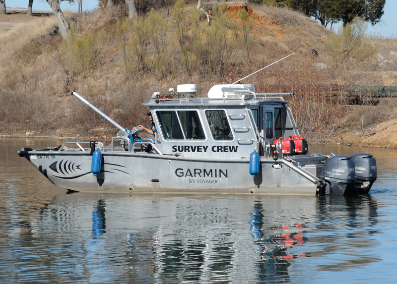
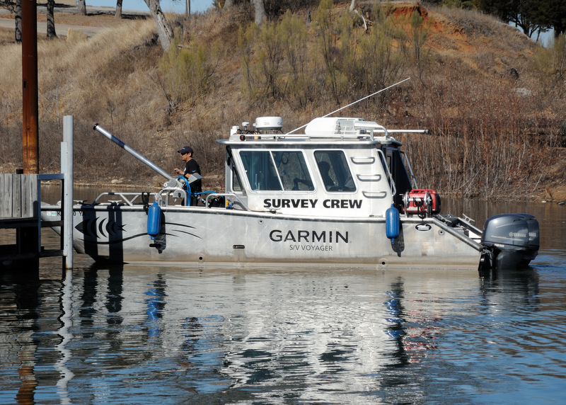
We had a 70 degree day last week and I went to check on the boat. Coming into the marina was a boat with Garmin Survey Crew on the side. Being the nosy sort I went over to the gas dock and spoke with the crew. They were surveying Lake Texoma for new maps using the technology called Lake-Vu. http://sites.garmin.com/en-US/lakevu/. They had 4 boats on the lake and they said that it would take another 4-5 weeks to complete mapping the whole lake. This is a 90,000 acre lake, the 10th largest in the US not counting the great lakes. Currently at 82% capacity, we're still in a drought.
I got interested in talking to them about their boat and equipment that I did not take any pictures of their sonar equipment. But here are a couple of pictures of the survey boat. It's a Munson, made in Burlington, WA http://www.munsonboats.com/series26.php. (4th boat on the page)(see attached for my pictures)
I could not figure out what the pole was sticking out the front, but it is the shaft that the sonar is mounted on. It rotates to straight up and the sonar drops thru a hatch in the deck floor. The 2 generators on the back deck run all of the computers and mapping instruments.
The Survey crews spend about 9-10 months a year going around the country mapping lakes.
I use RayMarine so I won't be using their new maps, but it was interesting to learn about how they did their mapping.
Ralph
Still a Thrill # 765
WK, STD Rig
Lake Texoma, TX
Ralph,
It looks like either a howitzer or a water canon......I'd run for cover!!! ;-)
Tom Sokoloski
C36/375IA Past Commodore
Noank, CT